


Wisconsin Rapids - C 17 Voting District, Wood County, Wisconsin
About
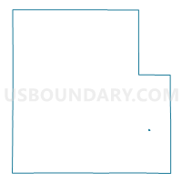
Outline

Summary
| Unique Area Identifier | 698366 |
| Name | Wisconsin Rapids - C 17 Voting District |
| County | Wood County |
| State | Wisconsin |
| Area (square miles) | 0.03 |
| Land Area (square miles) | 0.03 |
| Water Area (square miles) | 0.00 |
| % of Land Area | 100.00 |
| % of Water Area | 0.00 |
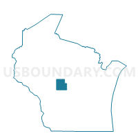
| Latitude of the Internal Point | 44.36406600 |
| Longtitude of the Internal Point | -89.80502820 |
Maps

Graphs
Select a template below for downloading or customizing gragh for Wisconsin Rapids - C 17 Voting District, Wood County, Wisconsin


Neighbors
Neighoring Voting District (by Name) Neighboring Voting District on the Map
- GRAND RAPIDS - T 7 Voting District, Wood County, WI
- Wisconsin Rapids - C 16 Voting District, Wood County, WI
- Wisconsin Rapids - C 19 Voting District, Wood County, WI